近日,,我校測繪地理信息學院智能計算與遙感應(yīng)用實驗室付波霖副教授在沼澤和紅樹林濕地遙感領(lǐng)域取得重要研究進展,,經(jīng)過專家提名和多輪評審,,獲得2022年國際學術(shù)“最佳研究者獎”(Best Researcher Award(International Research Awards on New Science Inventions NESIN 2022 Awards, Sciencefather)),。
相關(guān)研究成果以“Spatio-temporal monitoring of marsh vegetation phenology and its response to hydro-meteorological factors using CCDC algorithm with optical and SAR images: In case of Honghe National Nature Reserve, China”(測繪地理信息學院2019級碩士研究生藍斐蕪與導(dǎo)師付波霖為論文共同第一作者)和“Comparison of RFE-DL and stacking ensemble learning algorithms for classifying mangrove species on UAV multispectral images”(測繪地理信息學院2020級碩士研究生何旭與導(dǎo)師付波霖為論文共同第一作者)為題分別在生態(tài)環(huán)境領(lǐng)域國際頂級期刊《Science of The Total Environment》(SCI一區(qū)TOP,2022年IF=10.753)以及遙感領(lǐng)域國際頂級期刊《International Journal of Applied Earth Observation and Geoinformation》(SCI一區(qū)TOP,,2022年IF=7.672)上發(fā)表,。以上研究都得到國家自然科學基金、廣西自然科學基金和廣西八桂學者團隊等項目的共同資助,,何宏昌教授為論文通訊作者,,桂林理工大學為第一完成單位。
論文鏈接如下:https://www.sciencedirect.com/science/article/abs/pii/S0048969722040876
https://www.sciencedirect.com/science/article/pii/S0303243421002385
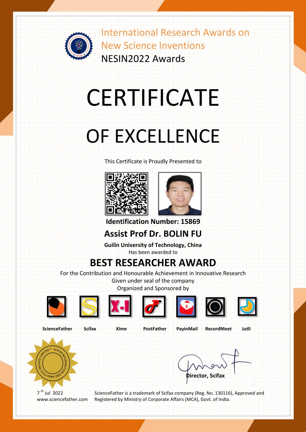
最佳研究者證書